Flood outlook worsens for Red River corridor
Advertisement
Hey there, time traveller!
This article was published 30/03/2023 (843 days ago), so information in it may no longer be current.
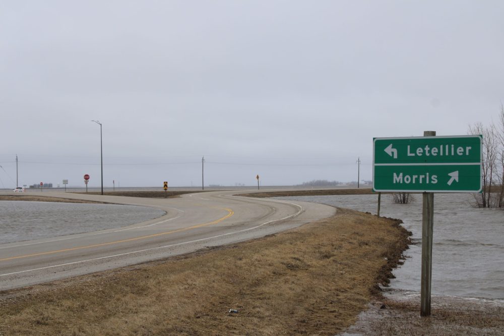
Floodwaters will rise a little higher than first anticipated along the Red River this spring, but experts say we’re unlikely to see a repeat of last year’s water levels.
There is a major risk of flooding on the Red River and a low to moderate risk of flooding in most other Manitoba basins, the province’s Hydrologic Forecast Centre said in its latest flood forecast last Wednesday.
Precipitation in the northern United States is to blame for the revised outlook, the province said in a release.
The risk of spring flooding is generally low throughout the Whiteshell lakes area and along the Souris, Roseau, Rat rivers.
Water levels throughout southern Manitoba are expected to remain below community and individual flood protection levels.
However, weather conditions and the spring melt could change the flood risk over the next few weeks, the province cautioned.
Operation of the Red River Floodway is expected in the coming weeks to reduce water levels within Winnipeg.
Meanwhile, Transportation and Infrastructure Minister Doyle Piwniuk said Friday the province continues to repair infrastructure damaged by last spring’s flood, which cost the province an estimated $193.5 million.
Over $9 million worth of work has been completed and another $45 million worth of work has been tendered, Piwniuk said. Repair work is expected to continue through 2025.