Two Southeast highways planned for twinning
Advertisement
Hey there, time traveller!
This article was published 16/03/2023 (1170 days ago), so information in it may no longer be current.
A second route will allow motorists to travel from Winnipeg to Steinbach on twinned highways, according to a five-year strategy posted in part of the multi-year infrastructure strategy released last Thursday.
The 88 page report offers a detailed look at government plans for roads, water control and airport projects over the next five years.
Included in that are plans to twin Highway 59 from Provincial Road 210 to Highway 52 and Highway 52 from that corner to Mitchell.
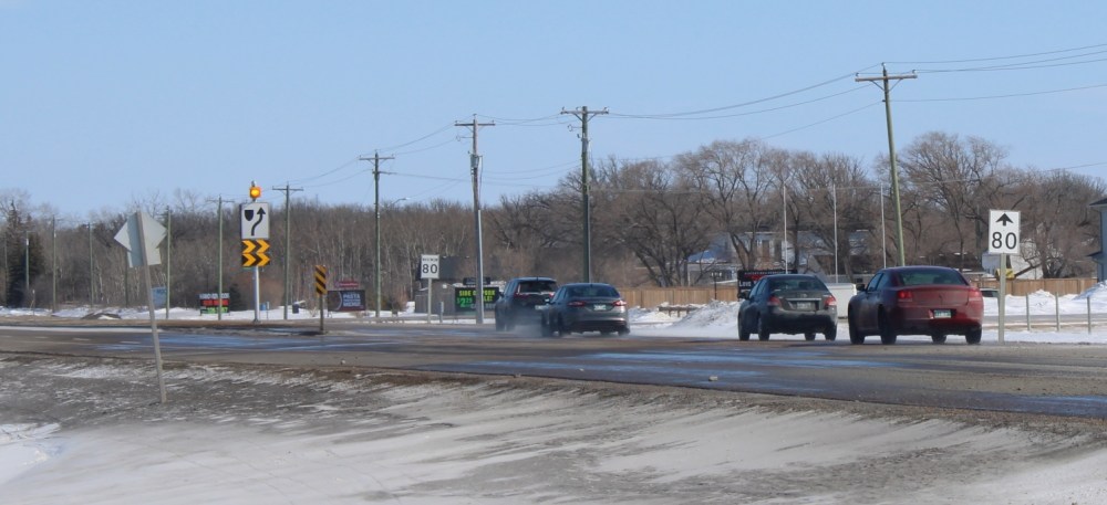
No cost estimates have been attached to the plans, and the schedule shows the project is slated to begin in 2025/26.
RM of Hanover Reeve Jim Funk was unaware of the announcement, saying in a Tuesday interview that though they’ve had conversations advocating for this, up to this point nothing had been put on paper.
“We would love to see twinning from Mitchell to the 59 and 59 to Niverville,” he said. “That’s something we’d definitely love to see.”
Funk said twinning the busy highway would promote safety in the municipality.
Niverville Mayor Myron Dyck was also excited about the prospect of seeing more twinning.
“That’s good news,” he said. “I’m glad that it’s part of the plan.”
Dyck said they’ve been talking about twinning with the province for the last five to 10 years but hadn’t “heard a whole lot” as to if and when it might happen.
He said knowing it is now part of the plan is encouraging, adding that as Niverville and the region continue to grow it becomes more crucial.
“For me safety would be the number one concern,” he said.
The plan also includes several intersection improvements on the Perimeter Highway and twinning for the last stretch of the Trans-Canada, a five-kilometre stretch to the Ontario border.
The plan is comprehensive including 525 highways projects encompassing 1,862 kilometres of road, 97 bridge and structure projects, 214 water-related projects and more than $75 million invested in northern airports.
The strategy also includes a commitment to invest a minimum of $500 million annually in Manitoba highways until 2028.
Other work is also scheduled for the Southeast.
That includes surface rehabilitation to Highway 75 from the U.S. border to Highway 23 and Provincial Road 205 to Provincial Road 305. That work is expected to be complete by fall 2025.
The bridge crossing the Red River at Ste Agathe is also on the schedule with work expected to begin this spring and be completed in fall of 2025.
Construction on Deacon’s Corner originally planned to be completed in 2022 will continue with the new completion date scheduled for fall of this year.
Additional planned work includes the completion of surface rehabilitation for the Trans-Canada Highway from the Perimeter to Highway 12, a structure replacement on the Trans-Canada at the Brokenhead River east of Richer, shoulder work on Provincial Road 308, structure replacement on Highway 12 at Fish Creek, just north of the Trans-Canada, intersection improvements at Highway 15 and Provincial Road 302 and a structure replacement at Cooks Creek on Highway 15, 7.4 km west of Highway 12.
Manitoba Transportation and Infrastructure is responsible for 19,100 km of all-weather road, almost half the distance around the world and more than the distance from Steinbach to the South Pole (15,514 km). They also oversee 4,750 km of drains, 19 community ring dikes, 1,655 bridges and overpasses, 23 northern airports, 1,125 bridge-sized large culverts, 41 pumping stations, 61 reservoirs, 425 km of dikes, 345 water control structures, 90 dams, eight diversions and four ferries.