Southeast projects highlight annual Watersheds tour
Advertisement
Hey there, time traveller!
This article was published 10/08/2025 (262 days ago), so information in it may no longer be current.
Two busloads of Manitoba Association of Watersheds employees, board members from across the province and project funding partners got a close-up look at a number of projects in the Southeast as Seine Rat Roseau Watershed District hosted the annual Manitoba Watersheds Association tour in July.
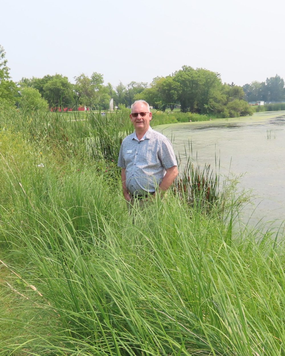
The two-day tour was kicked off at the Mennonite Heritage Village Museum in Steinbach where the pond, part of the Manning Canal provincial waterway, has undergone extensive bank restoration .
Tour participants were told that for years the banks of the pond were eroded during spring runoff to the creek, creating a steep drop off.
Both the east and west banks of the pond were restored by placing coconut coir logs three to four feet from the banks to hold back the fill that was added behind them.
Native grasses were planted in the fresh soil and covered with biodegradable erosion blankets .
Addiitonal plants increase the diversity around the pond and act as a deterrent to the geese population.
Mennonite Heritage Village Museum manager Robert Goertzen says that the pond project, along with the trees planted in memory of Fred Kaita, have greatly enhanced that part of the museum grounds, giving visitors and school groups an opportunity to get a close look at the natural environment.
The plants along the shoreline of the pond, provide an added bonus of discouraging geese from nesting in the area, Goertzen said. This probably comes from not knowing what predators are lurking in the bulrushes and high grasses around the pond. In any event, tourists no longer have to worry about the geese when using the walking paths in the area.
The geese still use the pond area as a feeding station and are expected to return to the museum in September, Goertzen added.
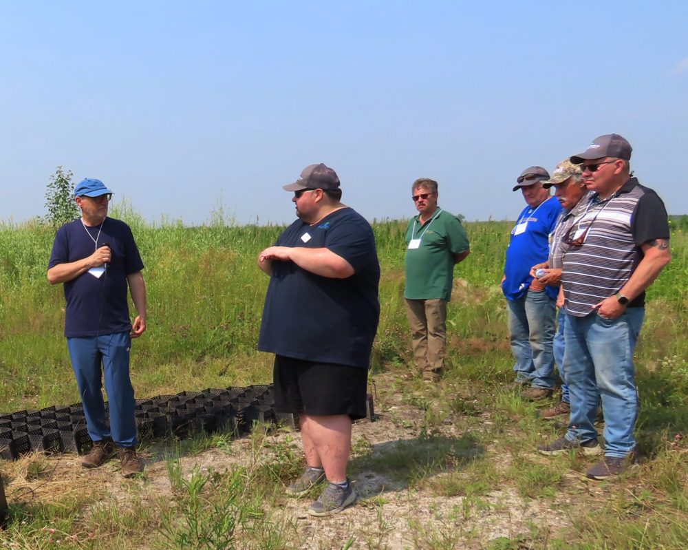
After lunch at the museum, the MAW tour group travelled to the RM of Stuartburn area where the Seine Rat Roseau Watershed District and Maple Leaf Foods have created a large water retention project to temporarily store water and reduce overland flooding which occurs downstream on agriculture land and the municipal road.
SRRWD project supervisor Chris Randall explained the site doesn’t show how flat the land is. A three-foot slope using borrowed material for the berm has naturally grown back in and doesn’t need to be reseeded as it fills in with natural growth.
The water retention site is between the Rat River to the south and Joubert Creek to the north. The $50,000 project involved creating a berm 1,300 metres long and three metres wide to hold back 25 acre-feet of water. At its highest, the berm is just under 1.5 metres tall. A culvert to allow water to travel through the berm is self-closing.
It only takes only a couple of weeks to build a berm like this, Randall explained, and plants grow back quickly.
The Stuartburn project was completed in November of 2024 and an earlier SRRWD project created a spillway in 2020.
The water retention project had been under discussion with Maple Leaf’s head office in Toronto for a number of years before it got the final go ahead, Randall said.
At the same time, the RM of Stuartburn and the watershed district built up a municipal road by eight inches and created a low-level crossing for manure wagons, greatly reducing the cost of maintenance by the RM.
Randall explained the honeycomb material used to support equipment at low-level crossings is the same they use to build airplane runways in the jungle. It stops the natural material from being moved, he explains. A company at Ile des Chenes is the supplier of the Geocel, which is delivered flat and opens up to create the honeycomb sections to be filled with stone.
The soil is scraped down six inches below the creek bed and the Geocel is laid down in 20-foot long sections seven feet wide and filled with stone. A crossing can be built in half a day, Randall said.
The final stop on the first day of the tour was a parcel of land south of Sarto, where the Loewen family grows organic crops and have undertaken a couple of watershed projects, including a shelterbelt and a low level crossing.

A shelterbelt has been planted on both sides of a creek which runs diagonally acoss the section and a fiord has been created to allow equipment to cross from one field to the other without damaging the creek bed.
The low level crossing is completely funded by SRRWD Core Funding and tour participants are shown samples of the honeycomb material used at the field and one at his other farm near Steinbach.
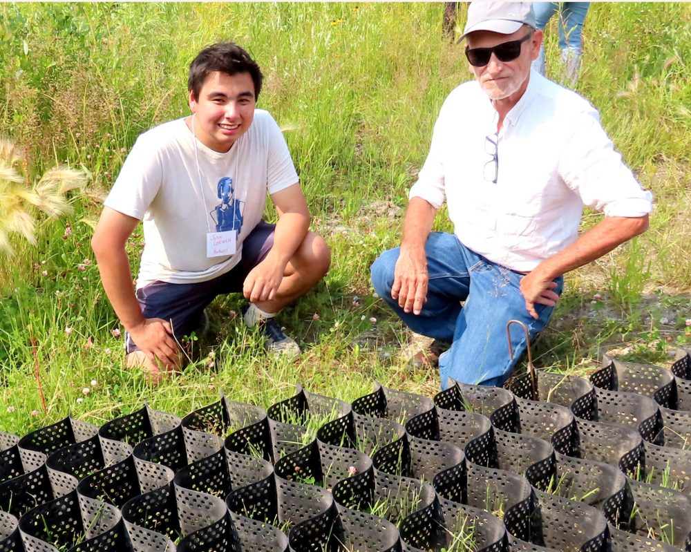
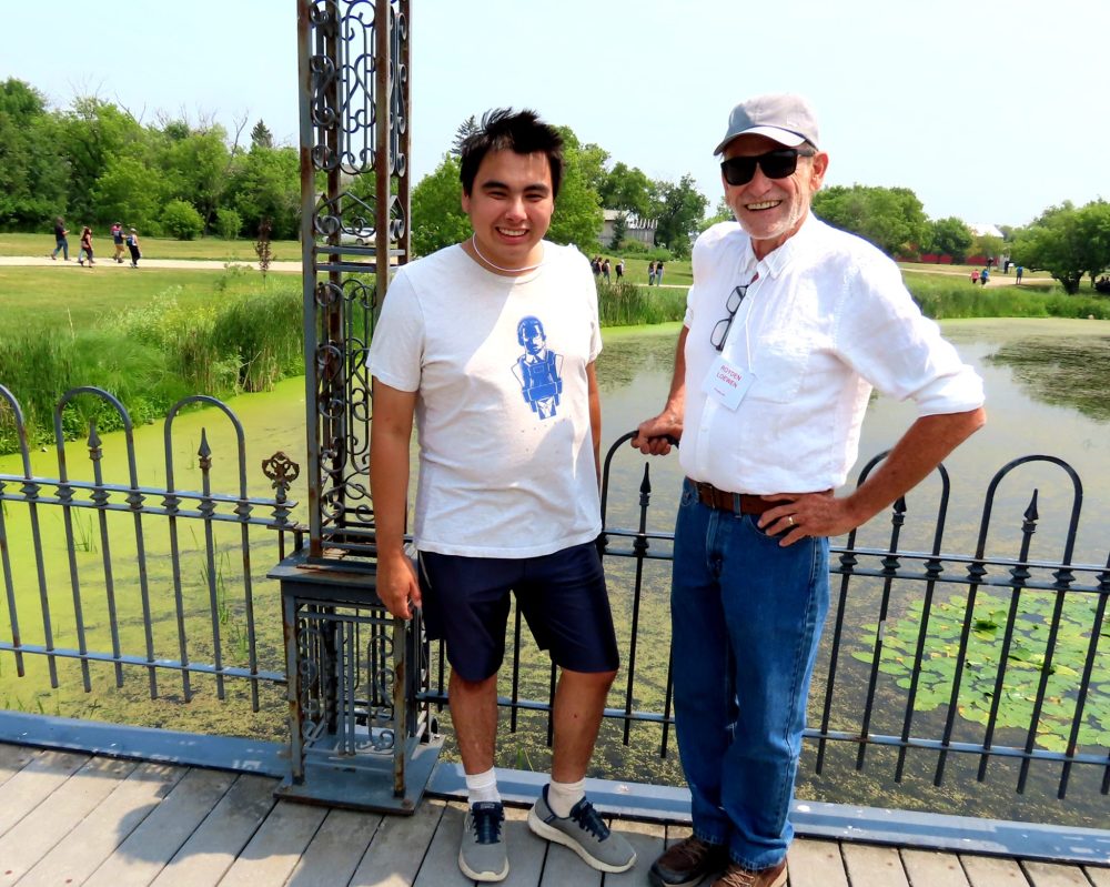
Royden Loewen is a Mennonite historian and author with numerous books to his credit, who farms with his son Sasha who has a Phd in organic agriculture, and his nephew Josh.
Royden Loewen took the opportunity to give the MAW tour a short history lesson before talking about the two watershed projects on the Sarto area farm.
In addition to the 440 acre farm at Sarto, they have been growing organic crops on 700 acres near the Steinbach airport for eight years. They have been farming the Sarto area parcel since 2020.
“At the time of Treaty One, this land was just 10 miles from the Roseau River First Nation.”
This is the fourth year for the delivery of the shelterbelt program by the SRRWD. Shelterbelt projects eligible for funding must be on agricultural land or adjacent to the owner’s farmstead.
Most projects are in the range of three to five acres and the Loewens’ shelterbelt south of Sarto was one of the earlier ones, planted in 2022.
Loewen explains they started by bulldozing a ditch across the land, creating a big lake, 30 feet wide for and nearly a mile long.
In 2022 they began to revitalize it by planting 1,000 trees on each side of the creek using old plows and plastic mulch with rocks to hold the plastic down, Royden said.
“Rocks are free in this area so it did not add to the cost of the project.”
They planted willows and two species of Spruce, as well as poplar. Now, more are growing naturally and you can hardly tell the difference between those and the ones planted three years ago.
For Loewen, the growing of a shelterbelt and buffer strips along the creek, which splits his farm into 320-acre and 120-acre fields, is just another way to improve the soil and help the environment. The reduction of soil erosion and the creation of wildlife habitat are equally important to Loewen.
The low-level crossing created across the creek, creates a way to move equipment from one field to the other more easily and creates a single crossing with the least disturbance to the creek and the shelterbelt.
At their Steinbach farm a creek crossing also eliminates the need to travel on a busy Steinbach street with heavy equipment.
Now Loewen can cross the creek, which crosses the city golf course on the way past the Mennonite Village to the Manning Canal.
The crossing on Loewen’s field is about 100 feet in length and keeps operators of equipment like his tractor from having to go a mile around to get to the other side of the creek.
He chuckles when he recalls the time he asked an RCMP officer to stop traffic so he could drive a swather down the road.
After explaining farmers didn’t have or need permits to move machinery the officer reluctantly agreed and halted traffic for the quarter mile where city traffic was busiest.
”With the crossing I don’t have to go a mile around and save time and effort. It’s much better than a culvert.”